
| This Afternoon  Sunny |
Tuesday Sunny |
Wednesday Sunny |
Thursday Sunny |
Friday Sunny |
Saturday Sunny |
Sunday Sunny |
|
| High: 83 °F | High: 84 °F | High: 84 °F | High: 87 °F | High: 91 °F | High: 93 °F | High: 93 °F | |
Tonight Mostly Clear |
Tuesday Night Mostly Clear |
Wednesday Night Mostly Clear |
Thursday Night Mostly Clear |
Friday Night Mostly Clear |
Saturday Night Mostly Clear |
Sunday Night Mostly Clear |
|
| Low: 58 °F | Low: 57 °F | Low: 53 °F | Low: 55 °F | Low: 58 °F | Low: 59 °F | Low: 58 °F | |
Ben's WX Summary
- Updated: Monday @ 10:15am
Our warm summer weather continues out there with another major heatwave expected towards the end of the week. High pressure will strengthen over the region this week, but unfortunately, not in a favorable position to draw up monsoon moisture, so thunderstorm chances remain minimal day to day. Looking at sunny skies today with highs in the mid-80s, southwest winds 5-15 mph through this afternoon. Clear and mild tonight with light winds and lows in the 50s to lower 60s. Little change through the middle of the week as highs remain about 5 degrees above normal. We'll turn the heat back up by the end of the week as this ridge amplifies, with daytime temperatures reaching the lower 90s
through next weekend.
| Current Conditions | Wind | Rain | Outlook | ||||||||||||||||||||||||||||||||||||
|
|
|
|
||||||||||||||||||||||||||||||||||||
| Humidity & Barometer | Snowfall | Moon | |||||||||||||||||||||||||||||||||||||
|
|
|
|||||||||||||||||||||||||||||||||||||
| UV Index | Solar Radiation | ||||||||||||||||||||||||||||||||||||||
|
|
||||||||||||||||||||||||||||||||||||||


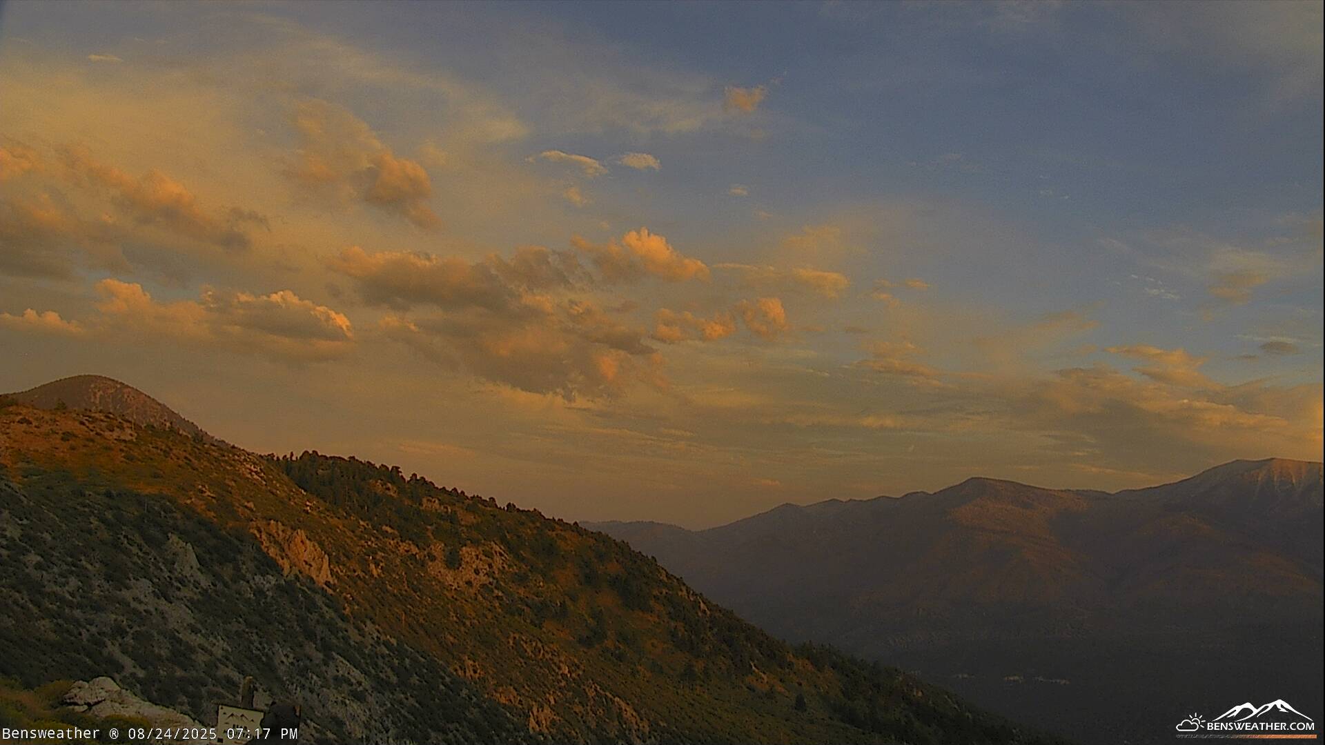
Live Cams